Friday, July 6, 2012

Friday, July 6, 2012. Mackinaw City

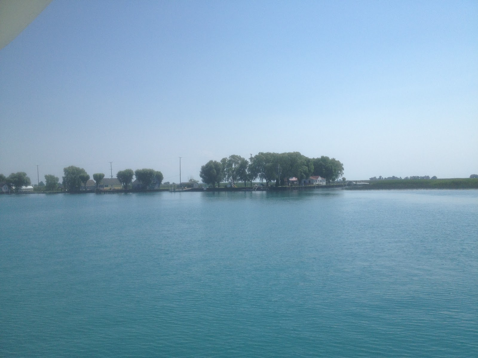
This morning we fueled up and left Rogers City. We passed the Poe Reef Light and traveled up the South Channel between Bois Blanc Island and Cheboygan. It was a real thrill to see the Mackinaw Bridge as we rounded the corner of Bois Blanc Island! We motored up the Straits of Mackinac and drove under the Bridge and then back to Mackinaw City where we docked at the Municipal Marina. Our slip there was across the dock from friends Kelly and Debbie Osborne of Jackson, who came out in their sailboat to meet us outside the harbor.
Poe Reef Light off the southeast corner of Bois Blanc Island, northern Lake Huron

K and I have always loved the Mackinaw area. Mackinac Island is the one place we vacation just about every year. To see the island, the Mackinaw Bridge, the Old Round Island Point Light, and these waters from our own boat was very special. We have found that after we visit an area from the water our perspective of that area broadens and we have a better feel for it. I think that will be true of the Mackinaw area.
 
Approaching Mackinaw Bridge from the South Channel

We never saw this view of the bridge from the Mackinac Island ferry!

Thursday, July 5, 2012

Thursday, July 5, 2012. Rogers City.

This morning Shad bicycled down to the city docks and we had a visit before K and I left Alpena. We passed several shipwreck sites in Thunder Bay, and cruised east of the Thunder Bay Island Light. This is an important lighthouse for northbound vessels so they do not cut across shallow rocky shoals as they turn toward the Straits of Mackinac. Heading northwest we cruised 6 1/2 hours to our destination tonight, Rogers City.

Thunder Bay Island Light

We stayed far enough from shore to avoid shoals around the northeast corner of the Lower Peninsula. We approached Calcite, an industrial port just east of Rogers City. Several freighters crossed north of us heading toward Mackinac, and I steered well south of them, out of their way. One ship seemed to be heading closer and closer to us, in the same direction we were headed. I realized he was headed to the port of Calcite. Since we were ahead of him heading to Rogers City, I decided to call him on the VHF radio to see what his plan was so we could avoid crossing in front of him. The freighter was the Joseph H. Thompson. The conversation ran as follows:

Breathin' Easy:  Joseph H. Thompson, this is the motor vessel Breathin' Easy, over.

Freighter: This is the Joe Thompson, go to channel 8, over.

Breathin' Easy:  Joseph Thompson, this is Breathin' Easy. It looks like you are headed to Calcite. Can you tell me where you would like me to go to stay out of your way as you come in?

Freighter: Are you that little white boat off my port bow? Well, I guess you can go anywhere you want, like a flea buzzing around! Anyway, I have to wait out here until the ship at the dock is finished loading before I can go in...

Joseph H. Thompson  (dlund.20m.com)

Joseph Thompson, stern view of dedicated tug (images.mitrasites.com)


The freighter Joseph H. Thompson was initially built in 1944 as a 515 foot cargo vessel named Marine Robin. During World War II she made trans-Atlantic voyages for the war effort and was present at the Normandy Invasion on June 6, 1944. In the 1950's she was given a new 199 foot midsection making her the largest freighter in the world at the time at 714 feet long, and she was renamed the Joseph H. Thompson. In the 1980's she was remodeled again into a self-unloading barge. Her aft and fore cabins were removed and her stern was redone to make a notch for her push vessel. A dedicated tug was constructed with left over steel from the larger vessel's hull. She is now 706 feet long with a capacity of 21,200 tons. As a self-unloading barge-tug combination she is efficient enough to compete with newer freighters. (From www.boatnerd.com).

Rogers City Marina


We docked at the Rogers City Marina. A waterfront park has a bandshell where a concert was given this evening by a community band. The theme was "patriotic music" in honor of the Forth of July. We sat in the park next to the trombone player's wife. The music was great and the audience appreciated the performance. Wonderful small town Americana!
Rogers City bandshell


Sunset at Rogers City Marina

Wednesday, July 4, 2012

Wednesday, July 4, 2012. Alpena

This morning we left the Port Austin State Dock and traversed the thick weeds of the harbor with the jello-like feeling we noticed coming in, and I was happy to get into clear water! We crossed the northern part of Saginaw Bay to the west to Au Sable Point.

Crossing Saginaw Bay was the first time K and I had been out of site of land on either of our cruisers. We navigated with our MacENC laptop which has its own gps antenna, and we have two back up gps systems: the boat's built-in chart plotter and my iPhone Navionics system. We also had a portable Garmin chart plotter but it ran out of batteries and stopped working after a few days even though I plugged it into the cigarette lighter at the helm! In addition to the electronics I kept track of our position by dead reckoning, which means simply traveling a constant speed from a known position fix at a known course bearing. If you know how much time has elapsed since the last fix you know where you are. On this trip I used a kitchen timer and marked our position on our paper chart every hour. Electronics are nice but I really enjoy using paper charts and we had them for all the waters we traveled.

The water was smooth across Saginaw Bay and we turned north and went up the Michigan shore to Thunder Bay. Our stop tonight was Alpena, and the city is about 9 miles to the west from the buoy marking the bay entrance. We docked at the city dock, which is called the Thunder Bay Shores Marina. My cousin Shad lives in Alpena and we were anxious to see him and Anna. Shad took us on a tour of the town and his house. We were unable to see the Great Lakes Heritage Maritime Center in Alpena due to the time we arrived, hopefully we can visit next time we come by. Since it was the Fourth of July, a concert was being held outdoors by the waterfront. We grilled hamburgers and watched fireworks from the boat and had a great visit with Shad and Anna.


Pride of Michigan docked at Alpena


At 11:30pm a vessel pulled up to the docks called the Pride of Michigan. I recognized it as it had spent the winter docked at the Clinton River in Harrison Twp, using a bubble system to prevent ice damage. This ship turns out to be a former Navy training vessel which is now used by naval cadets with the Noble Odyssey Foundation. This is a non-profit organization which takes youth on 5-10 day trips to learn different skills. The group we saw was a diving group. Thunder Bay has a lot of wrecks and is known for its scuba diving. The ship Pride of Michigan was built in 1979, is 80 feet long, 75 tons displacement, and has twin rebuilt diesels. It is built of wood, and the cadet I spoke to said the bilge pumps are on continuously!

Tuesday, July 3, 2012

Tuesday, July 3, 2012. Port Austin.


Today we entered Lake Huron from its southernmost point at Port Huron (noaa.gov)
 We left River Street Marina in Port Huron at 7:30 am. As we were leaving the dock an older gentleman came up the sidewalk on a bicycle and spoke to me. "I know you must get tired of hearing this but you have a really beautiful boat! I love Ocean Alexanders!" I answered that no, I haven't gotten tired of hearing it and thanked him for the compliment. As we took off down the canal he followed on the sidewalk awhile admiring the boat! It was a nice way to start the day.

Blue Water Bridge between Port Huron and Sarnia

 We passed a few high performance sailboats docked along the Black River for the upcoming Port Huron to Mackinac Race. After cruising under the Blue Water Bridge we entered Lake Huron for the first time on Breathin’ Easy.

Today was our first experience with what boaters call "uncomfortable" weather in this boat. The forecast called for “chance of showers and thunderstorms”. We traveled north along the thumb of Michigan and by afternoon, north of Port Sanilac, a squall hit us. Visibility was less than 100 yards and winds gusted to 34 knots. Our radar, gps units, and depthsounder worked well, and the boat handled great. We would not have gone out intentionally into such a storm, and we don’t go out when there are Small Craft Warnings. However, if we stayed home every time the forecast said “chance of storms” we would not do much boating. We consider all the weather info we have before leaving, and if either one of us feels uncomfortable with the weather or conditions, we don’t go out.

Port Austin Reef Lighthouse
After continuing north around Michigan’s thumb we passed the Port Austin Reef Lighthouse which marks a rocky reef at the tip of Michigan's thumb. The light was built in 1878 and has an attached keeper's house. The light is now maintained by the Port Austin Reef Light Association. In 1990 the association mounted what Wickipedia calls an "heroic" effort to oust a colony of seagulls which had taken over the structure.

 After carefully passing the lighthouse we entered Port Austin Harbor. We were lucky to stay at the marina there since it is under construction this summer. Although part of the marina had just been dredged, there were a lot of weeds in the harbor. Although our depth sounder read 4-5 feet under the transducer (which is plenty of depth for us), Breathin' Easy felt as if she was plowing through jello. We docked next to a sailor who said he noticed the same thing with his boat and felt it was due to thick weeds. Because of the construction of the docks there was no electricity or water available. Nonetheless we enjoyed a quiet secure night at the Port Austin dock.


Workboat at Port Austin docks

Breathin' Easy tug envy


Monday, July 2, 2012

Monday, July 2, 2012. Port Huron


This morning Katherine and I drove to Belle Maer Harbor in Harrison Twp, our home marina. We unloaded supplies onto the boat and left the dock at 2:30pm. I worked the night before so we got a late start but we planned to travel a bit less than 50 miles so we thought we could arrive in Port Huron before dark. This was our first time using our Mac laptop navigation system MacENC, which worked great.

 The weather was clear, warm, and sunny. We left Belle Maer in southwest Anchor Bay and headed east to the North Channel, part of the marshy delta formed as the St. Clair River empties into Lake St. Clair.

NOAA chart 14850


Anchor Bay in Lake St. Clair

Buoy 20 entering North Channel of St. Clair River


Dickinson Island at delta of St. Clair River entering Lake St. Clair


We cruised up the St. Clair River to Port Huron, upstream against a 2 knot current. We made 7.5 knots speed over ground at 2400 rpm. This is a fair clip on our trawler, and we arrived in Port Huron in 5 hours. Along the river we saw lots of pleasure boaters including some kids on jet skis who liked to jump our wake.

Power plant on St. Clair River
Ferry across St. Clair river between Walpole Island and Algonac


We passed a freighter, Canada Steamship Lines CSL Tadoussac (730 ft, built 1972, capacity 30,000 tons). A Coast Guard Cutter, the Neah Bay, passed us going upbound. The USCG site states this vessel is 140' long, 37.5' beam, and 662 tons displacement with twin diesel engines. It is an icebreaking tug that uses an air bubbling system to force air and water between the hull and ice to lower resistance.

CSL Tadoussac


CSL Tadoussac

USCG Cutter Neah Bay

River Street Marina, Black River, Port Huron
I like river travel because the sites we pass vary and we are close enough to shore to see homes, factories, parks, and other vessels. We spent our first night at the River Street Marina on the Black River in Port Huron. Very quiet, a nice place to stay.

Saturday, June 30, 2012

Getting ready for our Lake Huron cruise


We have been getting ready for our first expedition on Breathin' Easy. Some issues with the electronics have been corrected (we hope!), the boat is fueled, and I have developed a system of moving the dinghy off and on the boat deck with the davit by myself (thank you Shawn, Mark and Dave). We have a big heavy dinghy and the first time I tried to haul it off the boat deck with the davit with son Shawn, it was really a two man job. With some creative thinking, eventually a system with blocks and tackles was devised and I can now remove and replace the dinghy myself!


Getting ready for launch this spring


K has been provisioning the boat and I have all the equipment and spare parts I think we will need. The last purchase was an anchor snubbing line. This takes the strain off our all-chain anchor rode so it will not clank all night when we are at anchor (learned this chartering a sailboat in the Bahamas with three other guys a few years ago).


Breathin' Easy at anchor


Weather permitting, we will soon leave Belle Maer Harbor in Harrison Twp., MI for our three week cruise. However, we have learned from experience that weather and boat malfunctions may change our plans, so we try to be flexible and enjoy the time on the water whether we stay on schedule or not!